18-inch imagery has arrived on campus but is not available for general free distribution, although pieces can be clipped at the Washington State Orthoimage Portal.
2009 county mosaics were posted Jan 8, 2010. 18-inch tiles should be complete (but restricted) in the spring. Anyone who wants to host or donate earlier NAIP imagery will be much appreciated.
ArcMap9.2 .mxd file to display all counties with mostly transparent edges.
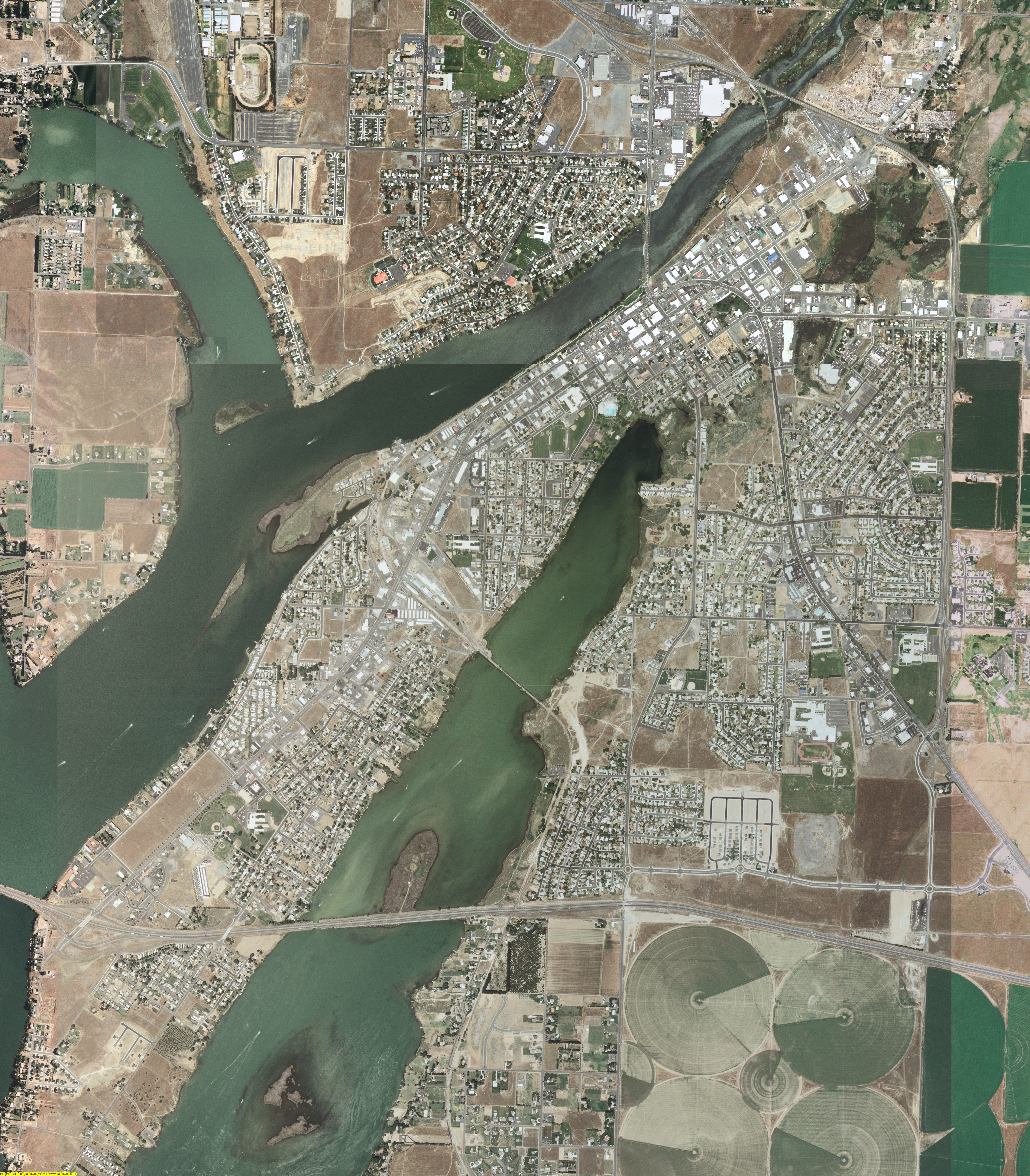
MrSID files can be viewed, and subsets can be written to image files with the free TatukGIS Viewer. See an example (with world file).
2147483647 is the largest value that can be expressed as a signed four-byte integer. When files get larger than this (2 gigabytes), things start getting weird. FAT filesystems (an old Windows format that you might still find on old systems, especially external drives) will fail. Internet explorer will stop exploring. Many programs (.e.g. Arc/INFO workstation) will complain about pointers out of range. (Ask your grandpa about the 32K limit.) However, I am happy as a clam at high tide with huge files while using Windows XP, firefox, and ArcMap.
Most of these files are under two gigabytes, but ten are larger. Thanks to our server updates (Thank you, Ed.), you can now download these huge files in one piece. If you prefer, you can download them in gigabyte chunks and assemble them as explainded below.
Download httpcat1.py. Examine it, as it is always wise to examine a program that a stranger asks you to execute on your computer. To download, for example, Clallam County, type httpcat1.py http://rocky2.ess.washington.edu/data/raster/naip2006/Clallam/naip_1-1_1n_s_wa009_2006_1.sid This should download the 3 pieces and append them on the fly. It may fail because the command line cannot find httpcat1.py. Either it should be in your searchpath or its full or relative location should be specified. It may fail because your version of python does not contain urllib. Update. It may fail because python is not in your searchpath. Either add it to your path or give the path to python, e.g. C:\Python24\python.exe httpcat1.py http://rocky2.ess.washington.edu/data/raster/naip2006/Clallam/naip_1-1_1n_s_wa009_2006_1.sid
If you download these pieces you must append them with, e.g.:
where fname is, for example naip_1-1_1n_s_wa001_2006_1
Warning: I tested the DOS copy through a remote mount to my linux web server, and the process beat the server to a pulp. Web requests were failing and packets were dropping right and left. I was convinced I was suffering a hardware failure. No, it was just DOS.
This site is still under construction, but comments are welcome.
Webmaster: Harvey Greenberg